The |
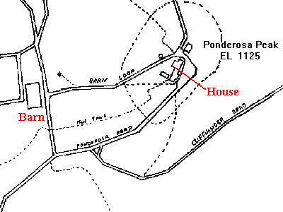 |
| This is an actual Satelite photo taken of the area around the barn and house. The photo was taken in May 1994. Since then, there have been a number of changes so I'm looking for a more recent photo. | 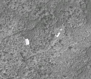 |
The |
|
| This is an actual Satelite photo taken of the area around the barn and house. The photo was taken in May 1994. Since then, there have been a number of changes so I'm looking for a more recent photo. | |